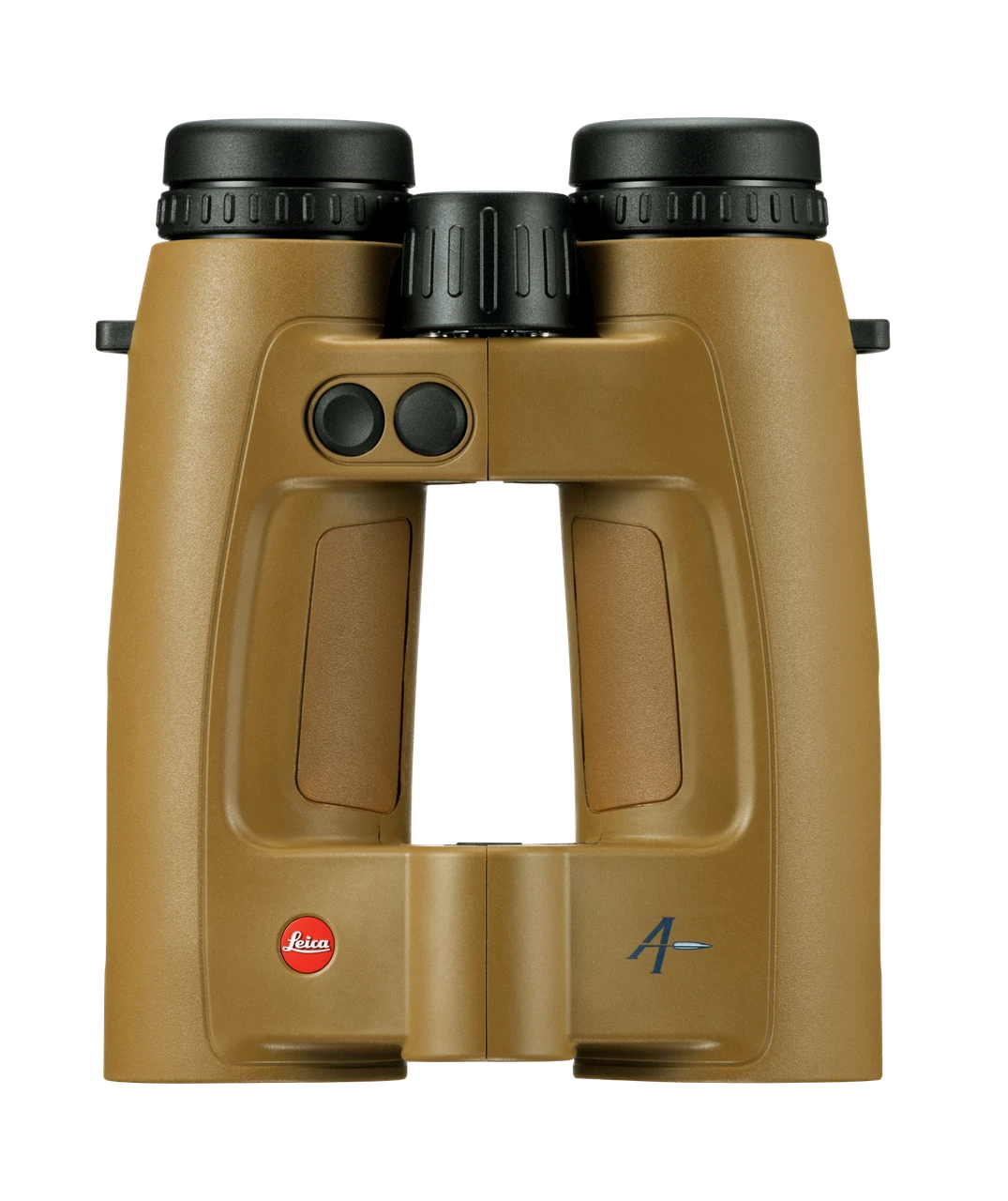
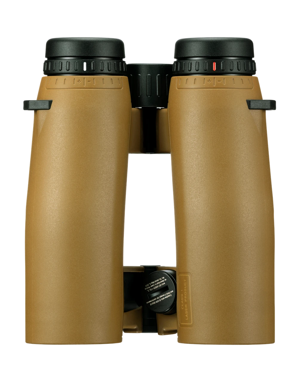
Designed for hunters and precision shooters working at long distances, the Leica Geovid Max 10x42 brings observation, laser rangefinding, ballistic calculations, and navigation together in one binocular. Its combination of optical detail, measured distance, and shooting information supports target identification and informed decisions in open country and demanding mountain terrain. The Flat Dark Earth finish distinguishes the Max within Leica’s Geovid family.
The bright, 640 × 480-pixel Active Matrix microLED display puts distance, shot correction, hit probability, wind data, and compass information directly in your field of view. Graphical indicators also identify the measuring and target modes, battery status, selected measurement units, and Bluetooth connection. This keeps both the measurement results and the binocular’s operating status available without looking away from the scene.
Use the Leica Ballistics App to choose which display elements appear and where they are positioned. Information you do not need can be hidden, reducing clutter for the task at hand. The display is designed to keep essential values easy to read in bright sunlight or at dusk while preserving the binocular’s optical image quality.
- • Standard measuring mode returns a distance up to 2,900 meters in 0.3 seconds.
• Extended Mode reaches up to 7,500 meters on retroreflective targets.
• Trees can be ranged up to 4,200 meters and game up to 2,650 meters.
• Leica also specifies ranging beyond 6,600 meters on highly reflective targets.
AUTO mode starts with a fast standard measurement and changes to Extended Mode automatically when more range is needed. There is no additional mode-selection step during that process, allowing you to concentrate on the target rather than changing settings.
- Three target modes adapt the measurement to the scene:
• First favors the nearest detected target, helping isolate small or nearby targets against a more distant background.
• Best selects the strongest measurement signal for clear, unobstructed targets.
• Last favors the farthest detected point, helping measure game or terrain partly hidden by branches, bushes, or tall grass.
Integrated Applied Ballistics Professional turns the measured distance into elevation and windage corrections through the maximum measuring range. Built-in sensors automatically measure air pressure, temperature, and inclination angle and feed those readings into the calculation. Having the environmental measurements incorporated directly keeps the ballistic solution tied to the conditions at the binocular.
Personal ballistic profiles can be created, organized, and transferred through the Leica Ballistics App. You can select factory ammunition from the database or store custom loads. The calculation considers the Coriolis effect, spin drift, AB Custom Drag Models, and Sight Scale Factor. Correction output can be a click value, holdover, or linear correction, with windage information available alongside it.
Shot Probability Analysis, also identified as WEZ, presents an estimated hit probability as a percentage in the field of view. Its inputs include measured distance, wind, target parameters, firearm accuracy, and muzzle velocity. Rather than showing only a correction value, this assessment helps you understand how the shooting system and current conditions affect the expected result and evaluate personal, firearm, and ammunition limits before making a shot decision.
The Leica Ballistics App serves as the control center for profiles, display configuration, and remote operation of the Geovid Max. While connected, settings, environmental data, and the active ballistic profile synchronize in real time. Compatible Kestrel devices and Garmin watches contribute field information, while BaseMap Pro automatically synchronizes measured target points and position data. These connections bring observation, wind information, ballistics, and navigation into a shared workflow.
Leica ProTrack links a range measurement to navigation back to that terrain point. After measuring, you can follow compass guidance in the Leica Ballistics App, place a target marker in Google Maps, or synchronize measurements and target markers automatically with BaseMap Pro. This helps relocate a shot site as light fades or terrain becomes difficult to interpret, supporting orientation, shot-site verification, recovery, and tracking.
The 10x42 optical system combines a patented Perger-Porro prism design with 90 percent light transmission, high edge-to-edge sharpness, and a high-contrast, color-neutral image. A tuned baffle system limits distracting stray light to help maintain contrast in challenging lighting. The field of view spans 114 meters at 1,000 meters for locating game and surveying the scene, while 10x magnification supports identification at longer distances.
HDC multicoating supports light transmission and image quality. On the outer lenses, the dirt- and water-repellent AquaDura coating helps protect the optical surfaces and maintain a clear view through rain, moisture, and changing weather.
For uphill and downhill shots, the inclination sensor calculates equivalent horizontal range, or EHR, from the measured angle. This provides the horizontal distance relevant to bullet trajectory and ballistic correction rather than relying only on the direct distance to the target. EHR is available from 10 meters through the maximum measuring range, making it useful on steep slopes, in hilly country, or from an elevated stand.
A nitrogen-filled magnesium housing and full rubber armor provide a durable body with a secure grip. Waterproofing is specified to a depth of five meters, and the binocular is designed for field use through rain, cold, dust, and substantial temperature changes.
- • Rotating eyecups offer four defined click-stop positions for viewing with or without glasses.
• An optional inclination-dependent standby function switches the system on or off according to its position, helping it become ready to measure quickly while conserving battery capacity.